Home • Resource Stewardship • Planning • Protocol Agreements
Protocol Agreements
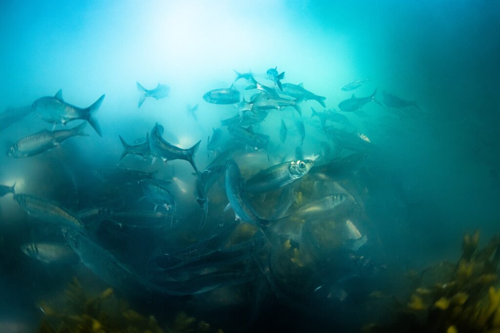
image credit: Moonfish Media
All entities that wish to conduct business in Kitasoo Xai’xais Territory (eg. tourism, fishing, research, filming, drone use, etc.) require a protocol agreement with the Kitasoo Xai’xais Stewardship Authority (KXSA). This agreement governs the relationship of the parties as it pertains to the activities of the company in the Nation’s territory (interests, expectations, impacts, benefits, etc.) and provides consent of the Nation for the proposed activity. In order for KXSA to consider issuing a protocol agreement, a proposal must first be submitted. This proposal outlines the types of activities, timeline, and locations the applicant is interested in. A detailed proposal will accelerate the application process.
image credit: Moonfish Media
If you are interested in submitting a proposal to conduct activities in or pertaining to Kitasoo Xai’xais territory, please download the appropriate form below and submit to KXSA at least 90 days in advance of the proposed commencement date.
Proposals can be submitted to: engagement@kxsa.ca
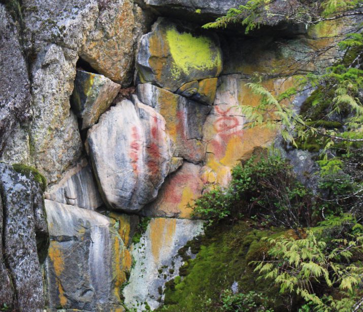
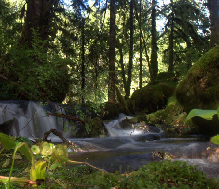
image credit: Moonfish Media
Higgins Passage
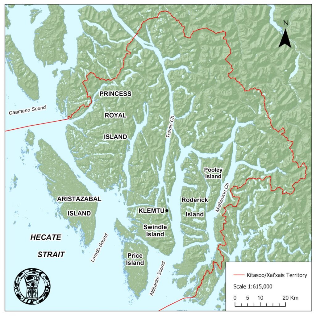
Those portions of Subareas 6-16 and 7-3 lying inside of a line that begins at 52°29.074586′ N 128°45.836113′ W [southwest Swindle Island], then southwest to 52°28.658625′ N 128°47.783029′ W, then south to 52°27.752182′ N 128°47.957771′ W, then east to 52°27.505255′ N 128°45.896523′ W [west Price Island], then following the northern shoreline of Price Island to 52°27.564212′ N 128°37.583357′ W, then 52°27.919086′ N 128°36.925324′ W then following the southern shoreline of Swindle Island to the beginning point.
Griffin Passage
Those waters inside a line that begins at 52°46.0240 TN 128°20.9051 TW, then due east to 52 °46.0175 TN 128 °19.9661 TW then following the eastern shoreline to the south to the point 52 °40.5787 TN 128 °16.3566 W and then due west to 52°40.5787 TN 128°17.2617 TW and then following the west shore north to the beginning point.
Bottleneck Inlet
Those waters inside a line that begins at 52°42.7 TN 128°25.5 TW, then to 52°42.8 TN 128°25.5 TW, then following the shoreline back to the beginning point.
Working with the Central Coast Indigenous Resource Alliance (CCIRA), we engage government, industry, environmental organizations and other parties to implement our marine use plan and create further positive change in our territory. Mechanisms for realizing plan implementation include:
- Securing joint-management agreements with government to give the Central Coast First Nations’ jurisdiction and governing authority over our marine environment and its resources, which enable revenue and benefit sharing, and provides for equitable First Nations’ participation in economic development and capacity building
- Acquiring specific resource tenures and licences through government negotiation, existing programs, and market buy-back
- Developing partnerships with industry, environmental organizations and other third parties through memorandums of understanding, and impact-benefit or joint venture agreements
- Affirming Aboriginal rights and title to our lands and resources through treaty, litigation and other means, as appropriate
