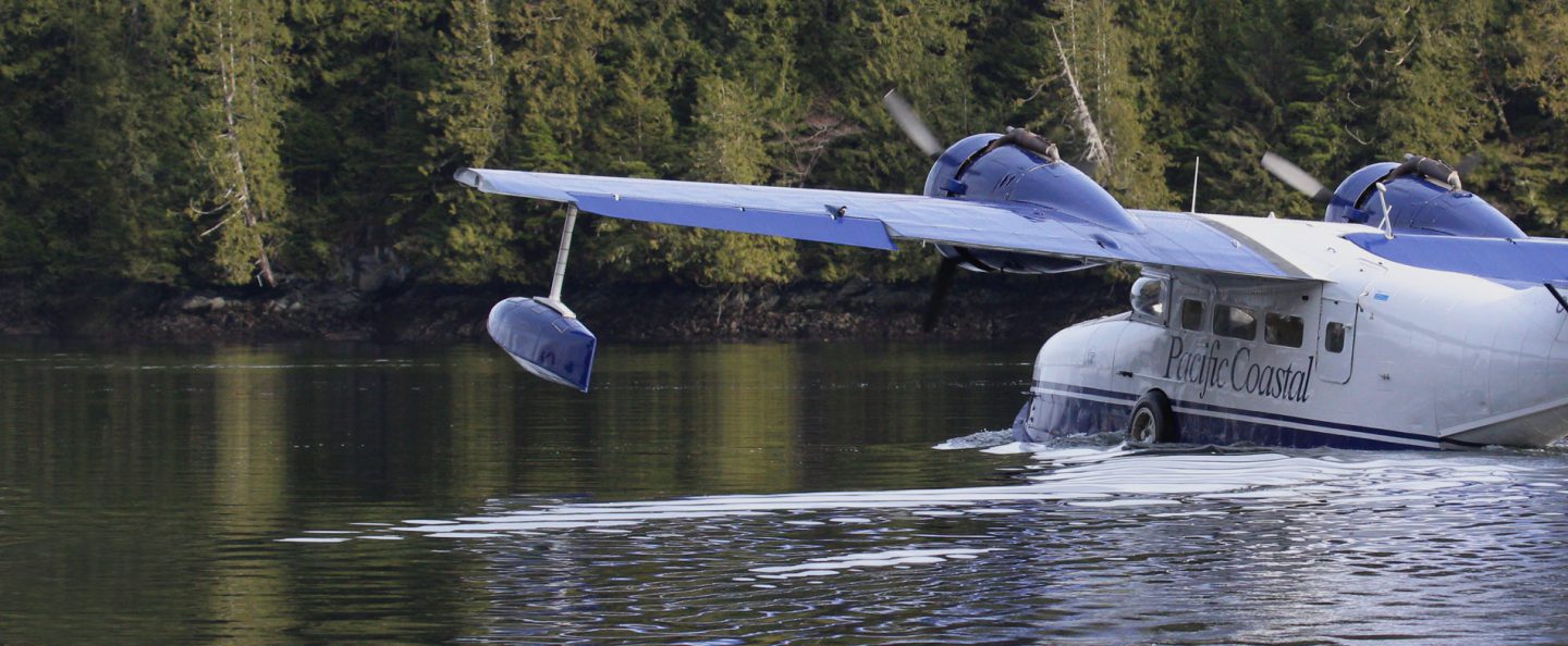
For information about Travel to Klemtu and Accommodation, visit our How to Get Here page.
Klemtu is a small remote village. There is a grocery store, fuel dock, post office, and health clinic.
If you would like to conduct business in Kitasoo/Xai’xais Territory (e.g. research, tourism, filming), please apply for the applicable Protocol Agreement here.
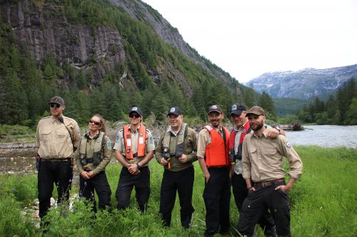
Kitasoo Xai’xais Nation is actively protecting and stewarding the lands, oceans and resources in the Nation’s territory. Kitasoo Xai’xais Guardians & other Kitasoo Xai’xais Stewardship staff are out in the territory daily undertaking research, monitoring and compliance activities.
Please help us protect and steward our territory for future generations by following our rules and guidelines.
Please report any unusual or suspicious activities to a Guardian Watchmen or the Kitasoo Xai’xais Stewardship Authority office.
Kitasoo Xai’xais Stewardship Authority
Phone: 250-839-1096
Email: admin@kxsa.ca
| Legal Name | Alternate Name | Type | Restriction |
| Canoona | Canoona River | Reserve | No land access to Canoona reserve |
| Weeteeam | Weeteeam | Reserve | No land access to Weeteeam Bay |
| Kdad eesh | Borrowman Bay | Reserve | No land access to Borrowman Bay |
| Kinmakanksk | Dis’ju | Reserve | No land access to Kinmakanksk /Dis’ju Indian Reserve |
| Quckwa | Kwa kwa | Reserve | No access to Kwakwa Creek, Kwakwa Inlet, or Cann Inlet |
| Goo wee | Price Creek | Reserve | No access to either side of Price Creek to Price Lake |
| Ulthakoush | Buie Creek | Reserve | No land access to Ulthakoush reserve or Buie Creek |
| Mary’s Cove | Mary’s Cove | Reserve | No access to Mary’s Cove |
| Oatswish | Oatswish | Reserve | No access to Oatswish reserve or Feeder Creek |
| Gander Island | Gander Island | Reserve | No access to Moore Islands |
| Dil-ma-sow | Kent Inlet | Reserve | No access to Kent Inlet |
| Lattkaloup | Powles Creek | Reserve | No land access to either side of Powles Creek |
| Saint Joe | Fifer Creek | Reserve | No land access to either side of Fifer Creek to lake |
| Skilak | Gorilla Creek | Reserve | No access to Griffin Passage narrows south of Skilak reserve include Gorilla Creek |
| Pyne Creek | Cultural/Ecological Area | No access to Pyne Creek at the head of Bay of Plenty | |
| Green Lagoon | Cultural/Ecological Area | No access to Green Lagoon north of the Green Inlet narrows | |
| Steep Creek | Cultural/Ecological Area | No land access to either side of Steep Creek to the lake | |
| Korich Creek | Cultural/Ecological Area | No land access to either side of Korich Creek to Korich Lake. | |
| Mussel Inlet | Láiq | Cultural/Ecological Area | No land access except dog walking area [map] |
| Marvin Islands | Cultural/Ecological Area | No land access to Marvin Islands in Kitasu Bay. |
In addition to the Reserves and other Restricted Areas above, the Conservancies below have additional site-specific rules that visitors should be aware of before planning to visit these areas. More information is available at the links below.
When necessary, the Kitasoo Xai’xais will set catch limits, close specific areas of the Territory to harvesting, restrict the harvest of specific species, define community member only food fish areas, and issue food fish permits.
The following areas are closed to all commercial and recreational crab fishing to ensure First Nation Food Social and Ceremonial Access:
Rockfish Conservation Areas
Recreational Fishing Closure
Commercial Crab Closures
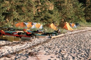
No facilities are provided and there is no fee for wilderness camping in Kitasoo Xai’xais territory. Kitasoo Xai’xais Indian Reserves are restricted. Visitors need to be self-sufficient and prepared. Exploring Kitasoo Xai’xais territory by kayak is only recommended for experienced paddlers.
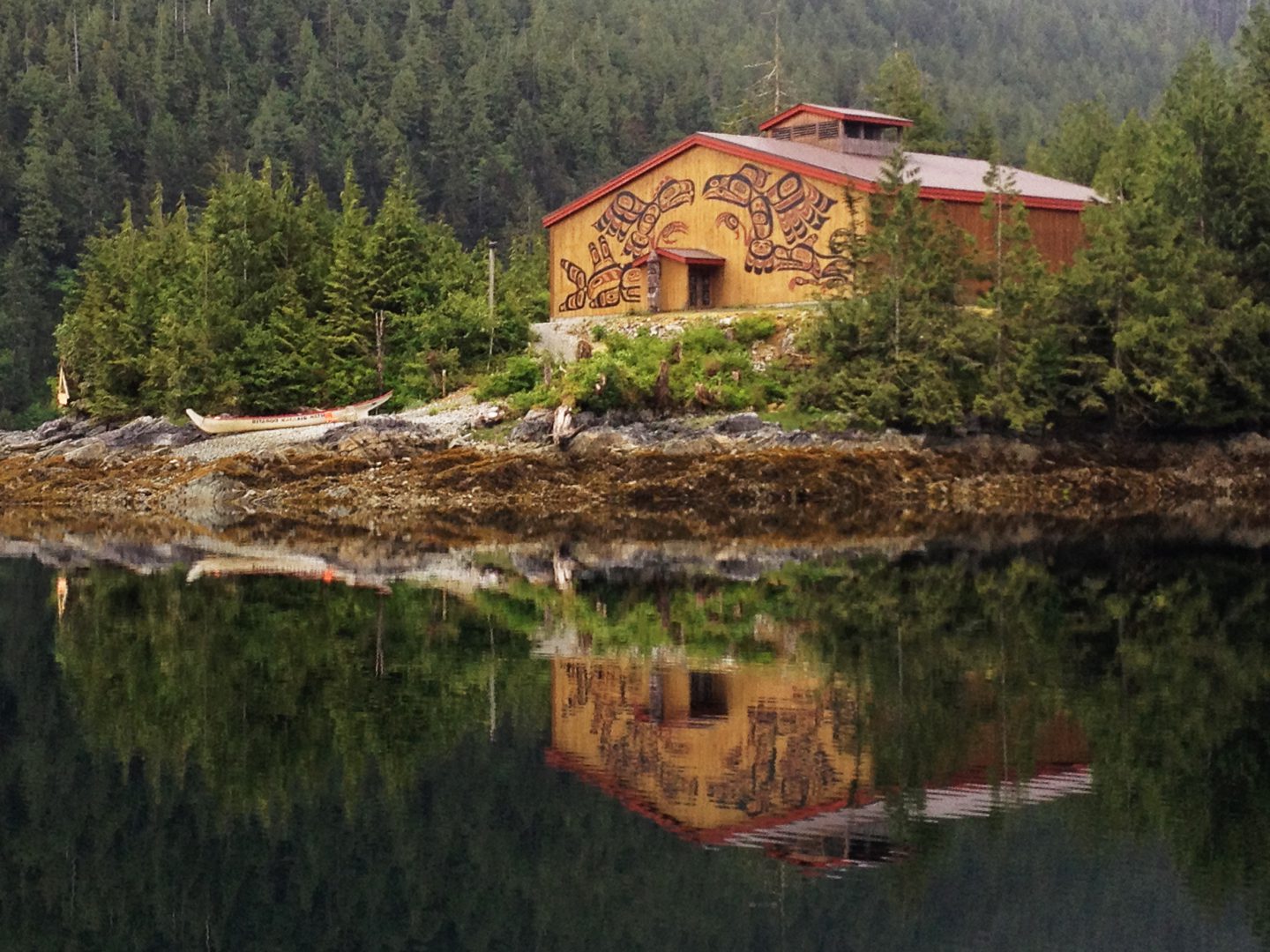
A tour of the Klemtu bighouse can be arranged that with our office by phone (250-839-1096) or email (admin@kxsa.ca). The fee is $20/guest (payable to the Stewardship Office in Klemtu by cheque or cash) and gratuities are accepted by local guides.
Drone use in Kitasoo Xai’xais territory is not permitted in the Territory without prior written permission from Kitasoo Xai’xais stewardship office.
To apply for permission for drone use, please complete an application form here and submit to: engagement@kxsa.ca.
Please allow a minimum of ten working days for a response from our office.
The entire territory is habitat for wildlife. If you are planning to visit the territory beyond the village of Klemtu, come informed and prepared to keep yourself, your pets, and any wildlife you might encounter safe.
Please follow the Chance Finds Procedure in the event that you encounter any archaeological materials, artifacts, or cultural heritage material in Kitasoo Xai’xais Territory.